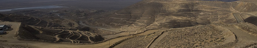
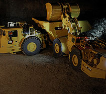
Drilling
Terrain for drilling (formerly known as AQUILA™ Drill System) is a scalable system designed to increase drilling accuracy and efficiency, it uses high-precision GNSS guidance to direct the execution of drill patterns. On-board messaging and monitoring improves safety and efficiency by keeping the operator in the cab.
With a new, fully-integrated office software system, Terrain offers reporting on machine and operator productivity, and enables remote, real-time supervision of drilling activity and blast planning. It also records and measures drill parameters to optimize machine utilization and improve drilling and blasting efficiency.
Terrain combines the functions for drilling, dragline, grading and loading operations, providing valuable productivity tools that allow users to create reports on utilization, materials and volumes.
Advanced Drilling Capabilities
Terrain Production records and measures multiple drill parameters to optimize machine utilization and improve the overall efficiency of drilling and blasting operations.
Guidance uses GNSS to provide three-dimensional positioning of the bit to ensure holes are drilled according to the designed drill pattern.
Terrain for drilling also offers features to enhance safety:
- Prior Hole Locations Map - Displays prior bench end-of-hole locations, minimizing the risk of drilling into bootleg holes.
- BorderGuard - Allows audible or visual alarms if a drill breaches a predefined avoidance zone.
- Pipe-in-Hole - Enables alarms or customer-configurable lockout of propel functions to help prevent damage to drill pipe and steels.
Viewpoint Magazine
For and About Caterpillar Customers and the Mining Industry. Download Now